Southeast Arizona Airborne Geophysics Survey FAQs
Southeast Arizona Airborne Geophysics Survey Information
As part of a previously announced geological data study, CGG, a global technology and Earth sciences leader, will commence a large airborne geophysical survey in southeast Arizona beginning mid-June to be completed in June 2024. This survey will use the latest technological developments to acquire high-resolution geophysical data that can be used to understand the geology at the surface and below ground. CGG will combine this geophysical data with geological data and satellite imagery to generate products that aid in the overall understanding of mineral systems in the survey area.
This page provides general background and more detailed information about the survey:
- Who is CGG?
- What is ‘multi-client data’?
- What kind of activities are planned to be conducted during the survey?
- Why is new data needed in this area?
- Is there a potential impact on people or animals?

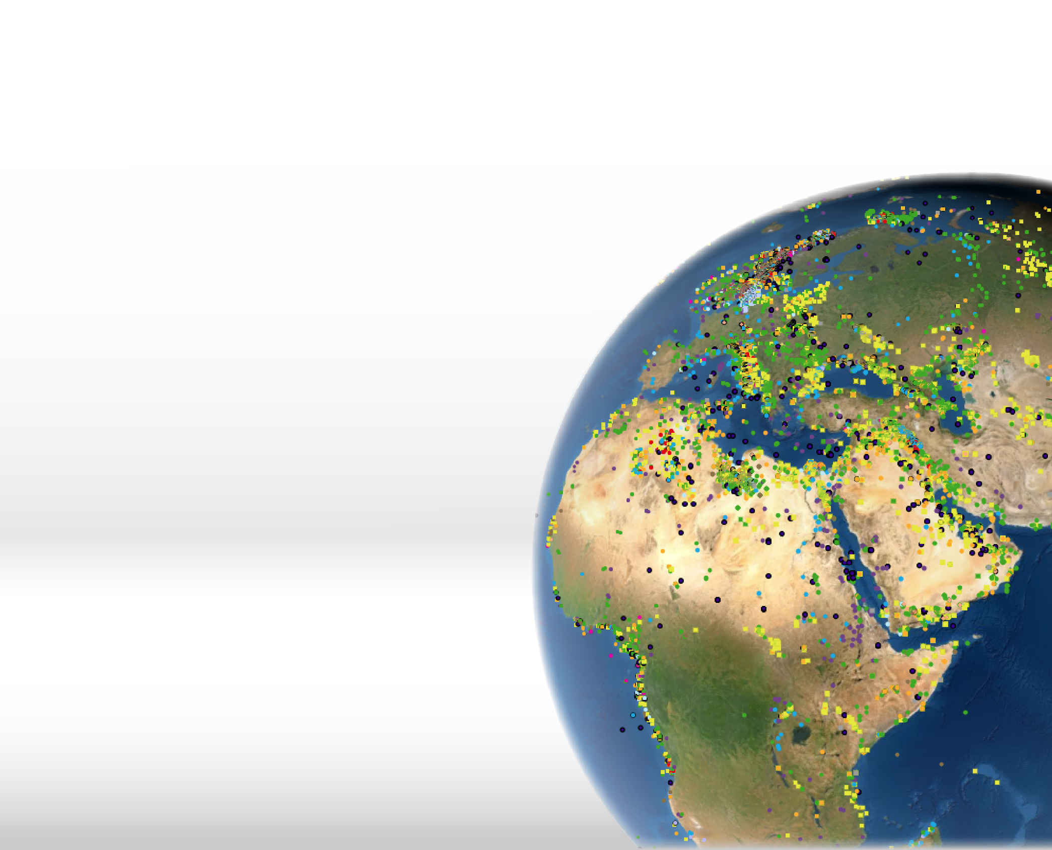
The blue polygon represents the area over which CGG is conducting its multi-client airborne geophysical survey between June 2023 and June 2024.
1. Who is CGG?
CGG is a global technology and HPC leader that provides data, products, services and solutions in Earth science, data science, sensing and monitoring. Our unique portfolio supports our clients in efficiently and responsibly solving complex digital, energy transition, natural resource, environmental, and infrastructure challenges for a more sustainable future.
With a 90-year track record in cutting-edge geoscience, CGG provides clients with a unique range of technologies, services and equipment designed to acquire extremely precise data and images of the Earth's subsurface. We also provide state-of-the-art software and services for analyzing that data and developing a deeper understanding of the subsurface for exploration, production and optimization of natural resources and carbon and energy storage.
2. What is 'multi-client data'?
Geophysical surveys are acquired either on a multi-client or proprietary basis. Multi-client data is acquired by a geophysical company, covers a larger area of interest, and the data is licensed to clients on a non-exclusive basis. A proprietary survey is typically acquired by a geophysical contractor on behalf of a single client and is limited to that client's area of interest. The environmental advantage of the multi-client approach is that a single multi-client survey will fulfill the exploration requirements of a larger number of companies, rather than each of these companies acquiring separate proprietary surveys.

The aircraft flying the geophysical survey over Southeast Arizona will be similar to the one in this image. The easily distinguishable "stinger" at the back of the aircraft houses the magnetic sensor.
3. What kind of activities are planned to be conducted during the airborne geophysical survey?
CGG is partnering with Sander Geophysics, a company specializing in airborne geophysical surveys, who will be flying the survey over all or parts of Maricopa, Gila, Pinal, Pima, Santa Cruz, Cochise, Graham and Greenlee counties in southeast Arizona. Up to two planes will be actively collecting data in different parts of the survey area.
Sensors within the aircraft will remotely measure surface soil and rock chemistry, as well as variations in Earth’s natural magnetic and gravitational fields that will aid in the characterization of the rocks below the surface.
The aircraft will be flown by experienced pilots who are specially trained and approved for low-level flying. All flights are coordinated with the Federal Aviation Administration (FAA) to ensure strict compliance with U.S. law. All survey flights will occur during daylight hours.
The airplane will generally fly low to the ground to maximize the quality of the geophysical data, but there is no danger to the public and the flying height will be increased over built-up areas in compliance with FAA regulations. The airplane will fly along pre-planned flight paths along east-west flight lines spaced approximately 600 feet (200 meters) apart, and north-south flight lines spaced 6,000 feet (2,000 meters) apart throughout the survey area.
4. Why is new data needed in this area?
As part of the wider scope of work for this project, CGG is sourcing a wide array of vintage data from the public domain across a variety of different geological and geophysical disciplines. This data will be collated, harmonized, reviewed and interpreted in order to derive maximum value from the current dataset.
However, the current model of operations in the mineral industry means that the available airborne geophysical data is either older or highly fragmented into numerous non-contiguous small blocks. A large-scale, consistent dataset over the full region has never been collected and would provide valuable insight into the controls surrounding potential mineral systems. This approach of collecting large-scale, high-resolution data aligns with the USGS’s EarthMRI program, which seeks to generate the data needed to drive exploration for the mineral resources required for the energy transition.
The data being collected by CGG represents the most minimally invasive approach to collecting these valuable datasets.
5. Is there a potential impact on people or animals?
There is no danger in being under the aircraft when it flies overhead.
The airborne geophysical survey being flown in Southeast Arizona involves only the passive measurement of the Earth’s natural gravitational and magnetic fields, as well as certain geochemical signatures from the surface layer of soil. There are no energy emitting sources or chemical spraying involved, only passive measurements.
Airborne geophysical surveys are also short-term events that can provide indirect environmental benefits during the mineral exploration cycle. This is generally achieved by allowing companies to identify and target their exploration efforts on potential deposits with the least environmental or social impact and reduce on-the-ground exploration activities such as drilling.