GeoVerse Gravity and Magnetics

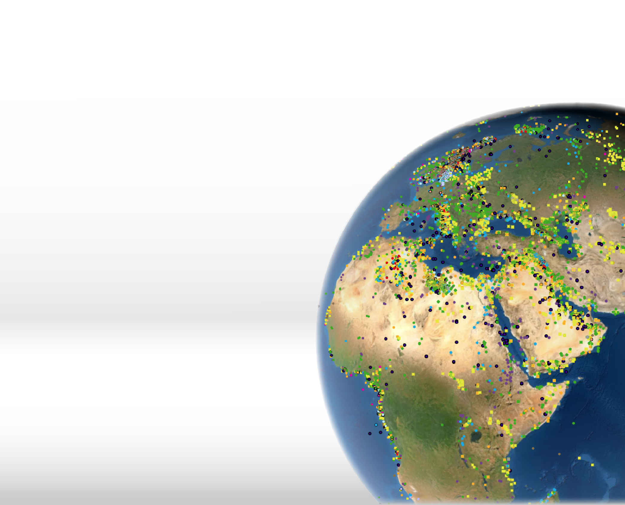
Access to the largest data pool
Over the past 45 years, CGG’s has focused on building a best-in-class, privately owned & brokered, global library of non-exclusive, multi-client airborne, land and marine potential field data, maps and interpretations that cover key basins and frontier areas with the highest quality products available.

CGG’s non-exclusive data coverage polygons represent 700+ surveys from around the world.
|
17.5M line kilometres of airborne data |
2.0M line kilometres marine gravity & magnetics data |
1.8M stations of land and helicopter gravity data |
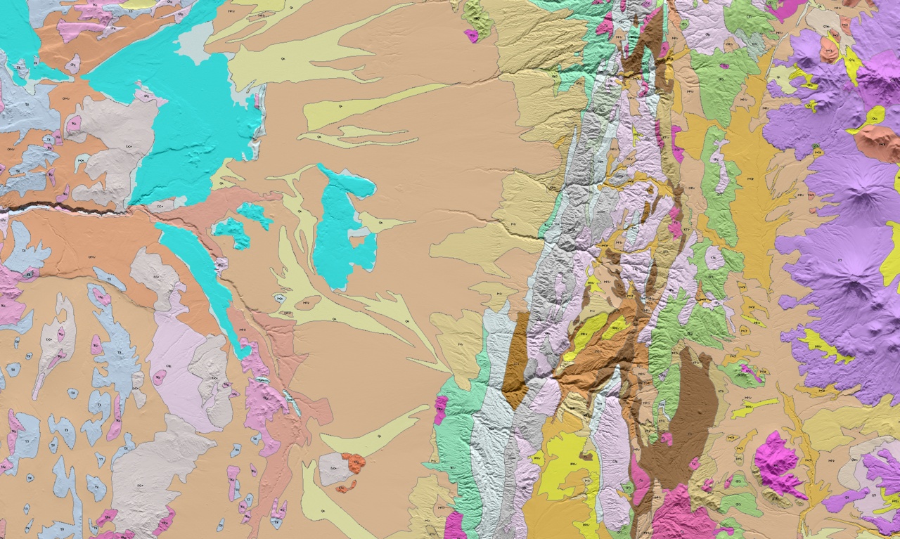
Gravity and magnetics
Our gravity and magnetics data provide a cost-effective tool to drive a better understanding of both frontier and mature basin structure and tectonics, and to reduce the overall risk associated with exploration and development across the oil & gas, mining, and environmental sectors.

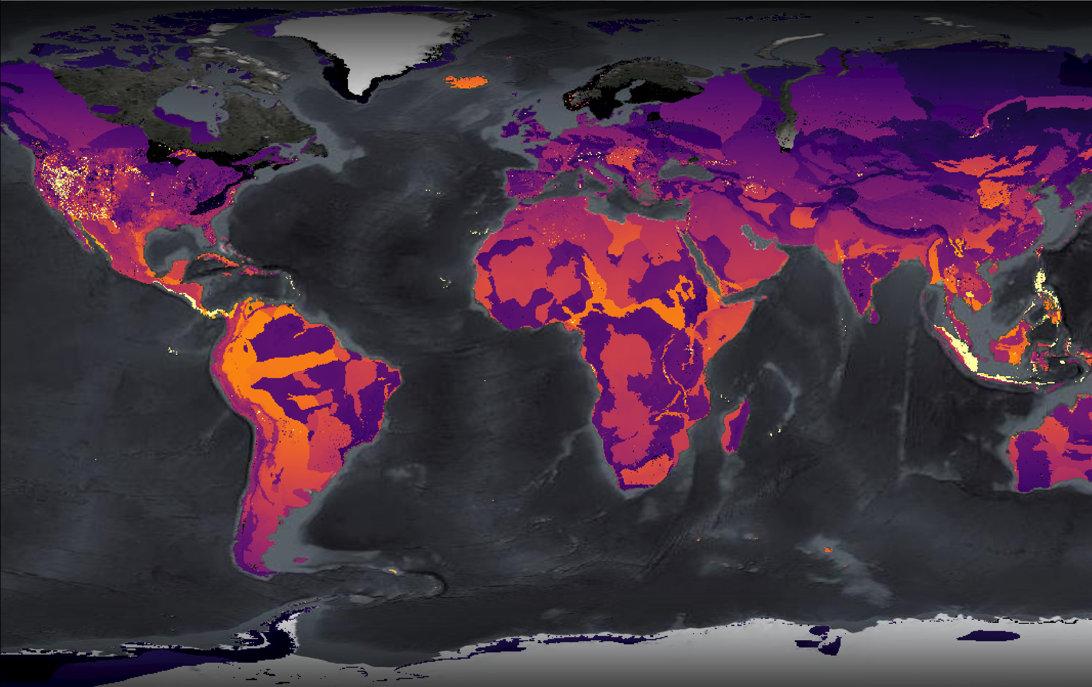
Radiometrics
Airborne gamma-ray spectrometric datasets provide additional support to frontier and mature basin mapping to locate potential mineral deposits with higher concentrations of radioelements.

Expansive data offerings
- 16,000,000 line-kilometers of aeromagnetic data
- 1,800,000 land and helicopter gravity stations
- 1,800,000 line-kilometers of marine gravity data
- 1,400,000 line-kilometers of marine magnetic data
- 638,000 line-kilometers of airborne gravity and airborne gravity gradiometry data
- 2,000,000 line-kilometers of radiometric data
- 116,000 line-kilometers of electromagnetic data

Data integration
Gravity, magnetics, radiometrics and electromagnetics enhance exploration and development across many sectors. The multi-client model offers significant cost savings over proprietary aquisition.

Data for the oil and gas sector
Gravity and magnetic data provides value over the entire life cycle of an exploration program. From new venture analysis to pre-seismic planning, through prospect development, all the way to the end of the exploration cycle where they can be used to generate in-field referencing (IFR) models for measurement while drilling (MWD) surveys.

Data for the mining sector
CGG has within its data library a significant number of datasets targeted at the mining and minerals sector. Many of the same benefits that potential fields data bring to the oil and gas sector apply equally to the mining sector. These surveys are higher resolution, more data dense and often include the addition of airborne radiometric data.
Gravity and magnetics advantages
- Tectonics and structural/fault mapping
- Depth-to-basement measurement
- Salt diapirs and volcanics identification and delineation
- Sediment thickness and fairways determination
- Intra-sedimentary anomalies mapping
- Independent geological constraints for seismic interpretation

Airborne radiometrics advantages
- Utilizing aeromagnetic data in addition to radiometric data can assist in delineating structures such as faults, folds, and intrusions, and in automating detection of porphyry and favorable areas of ore deposits
- Radiometric data is also widely used in geologic mapping, soil surveying, lithologic studies, and geothermal exploration

Experience GeoVerse firsthand or schedule a live demonstration below
Experience GeoVerse AI-Xplorer
Experience the power of generative Ai with the GeoVerse AI-Xplorer. The smartest geological virtual assistant in the industry. Register for free today!

Get in touch
If you are looking for more information about particular surveys in your geographic location, contact us below.